
In 1861, a Chippewa tribe traded an eaglet to Dan McCann of Jim Falls, Wisconsin. What did the tribe get in return? Hopefully not useless trinkets. Dan kept the eagle as a pet, and then gave it to the Eau Claire Company C of the 8th Wisconsin Infantry formed for the Civil War. The eagle was named in honor of President Lincoln. Old Abe traveled with the company during 37 battles, (the number of battles differs according to sources) and then returned to Madison, where it died in a fire. Well, poor eagle, I say. It didn't get to fly free, and then, death by fire also. However, this trail and probably other things were named after it. Its likeness is displayed in the Wisconsin State Capitol.

My husband dropped me off in Cornell, Wisconsin at the area that I thought was the trailhead. He would later pick me up in downtown Chippewa Falls, where I thought the end of the trail was. It wasn't. The day started in confusion about where the exact beginning and end were located, and perhaps this is not confusing to other people, but it was to me. But to YOU it won't be confusing! I am making the mistakes for you! That is the benefit of this blog. I pedal around and around the Mill Yard Park parking lot in Cornell, looking for the trail, so you don't have to. Here's the hint: go east across the parking lot, cross Park Road, and the trail runs pretty much parallel to Park Road here. You can leave your car at this parking lot, and access the trail here, or (and I recommend this) drive further (just over a mile) up Park Road to Brunet Island State Park (there's a lot of park park park going on here) and PARK your car by the office. It is pretty here. It's a good place to start. The official head is actually at the Mill Yard Park though. Just so you know. (Or maybe it is the Official End.)

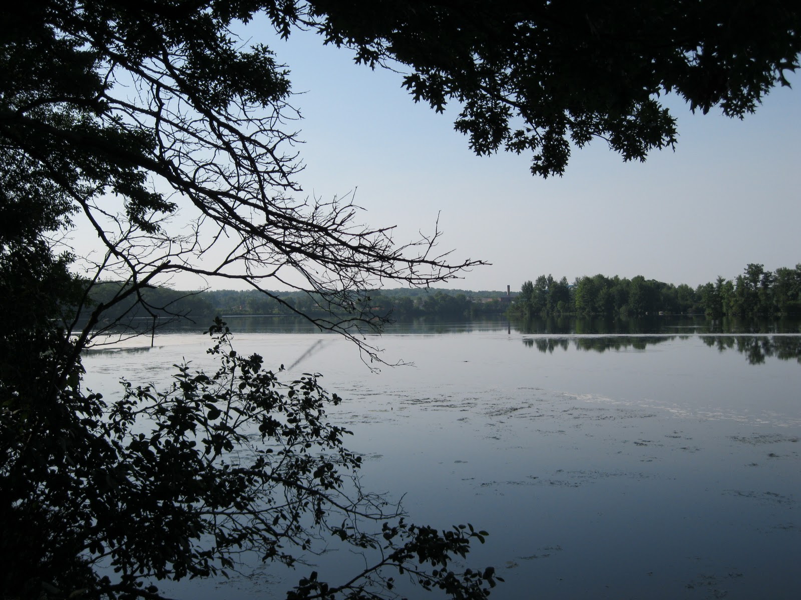
The top of the trail winds about with the Cornell Flowage alongside. A short stretch of biking along the shoulder of Park Road and then cross to the trail that continues on the east side of the road. Carry on for 18-19 miles!

Yes, it is paved. Easy going. I have read some reviews complaining about the condition of the asphalt, but there aren't any tremendous potholes. Sure, there are some bumpy sections from Jim Falls to Cornell, and be sure to watch for fallen branches. During the summer of 2010, there were lots of storms that brought down tree limbs. I am always surprised to find how quickly these are cleared from the trails. BUDGET CUTS, PEOPLE. Picking up branches for you may not be at the top of the list, so pick up a few yourselves. Unless you want to pay more taxes. See, that's what all the complaining about paying taxes gets you: no one will be picking up your branches, if you don't want to pay for services.

Lovely rural views happen along the way, also woods and the Chippewa River. It is a beautiful ride.

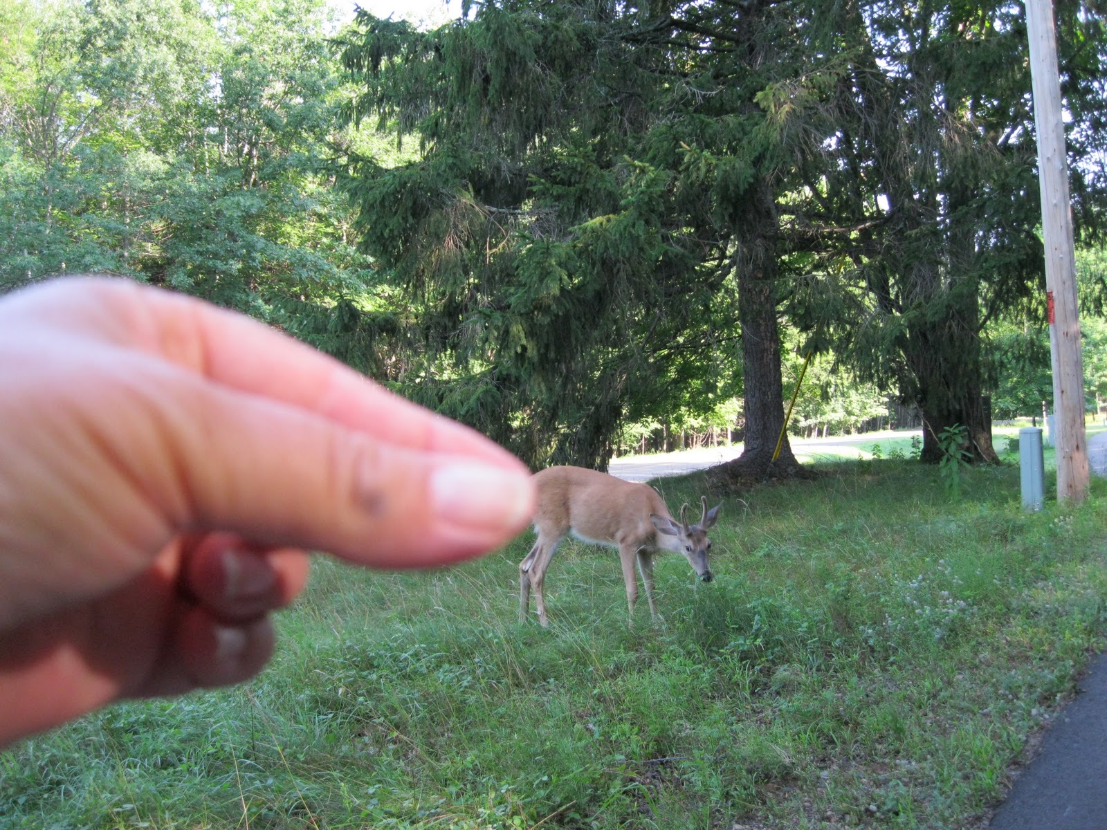
I asked two hikers about the cooler. They told me it contained eggs for sale on the honor system. I didn't check the contents, but I had thought perhaps water bottles were for sale, which would be a good idea!

This is an interesting bridge, I had never seen one quite like it before. Take your turn on this bridge. One at a time. It is found when the trail crosses County K, so check it out. Old timey.

Here is evidence of local amusement. "Things" happen along trails, hopefully not when I am biking though.

The village of Jim Falls offers refreshments, restrooms at the convenience store, restaurants and BARS (Wisconsin). It won't take long to explore the main street, so veer off a block or so to the west and visit.
Historic information will tell you about Old Abe, namesake of the trail.


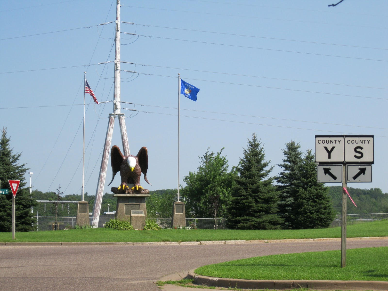
Large things in Jim Falls. Hydro-electric plants. Eagles. Cheese plants. Very Wisconsin. We like cheese production to be large!

The country becomes farmland and more open. The trail is smoother after Jim Falls, as the woods is left behind.

Wildflowers enjoy the sun. Be prepared for much less shade. Also, a horse trail runs alongside the bike trail which adds to the experience. Unfortunately, no one was out riding when I was. I was hoping to see some equestrians.

Soon I was at the Anson Station parking area, which sources list as the official end (or beginning) of the Old Abe Trail. It would be a good place to stop, but this bridge beckons just a block or so south of Anson Station. If you have decided to end the trail here, be sure to ride over the bridge and then return to your car. It is a great bridge to ride across. Like a mini roller coaster. The trail will someday continue into Chippewa Falls, and on into Eau Claire which would then connect with the previously posted Chippewa River State Trail, and the Red Cedar State Trail, bringing cyclists from Cornell to Menomonie. I am looking forward to that. The confusing part is: there already IS a trail continuing beyond the official end of the Old Abe at Anson Station, this wavy bridge being part of it. I did not realize that Anson Station was the "end" and so I went on, thinking that I could easily get into downtown Chippewa Falls. There should be a sign saying The End of The Old Abe State Trail, Starting A City Trail Into Chippewa Falls. One That Doesn't Go All The Way Into The City, So You Can Be Confused. Dear Readers: I did get there. But only because I was somewhat familiar with Chippewa Falls. If you were from somewhere else, good luck. This is a problem with many state bike trails. The end of the trail is not marked well. There should be a Big TA DA! Congratulations! You made it! Now turn around and go back.
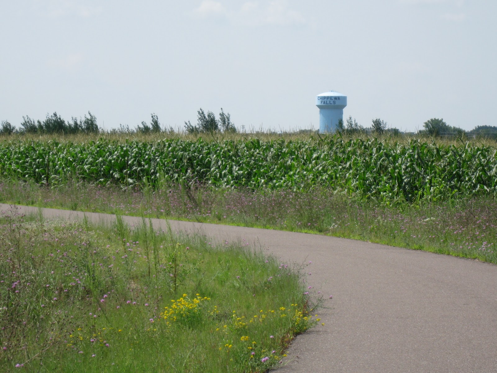
To get to downtown Chippewa Falls, continue on the trail. It will look just like the trail you have been on for 18 miles, which makes you think that you are still on the Old Abe State Trail. As the above photo shows, Chippewa Falls is closer.

After crossing Highway S a couple of times, and biking alongside it, you will leave S behind, following County I and come to a new suburban development, and this is where it could become confusing........as it was to me.

This is the new development. It is alongside a recreational area that has a nice bike path going through it, I know because I mistakenly went there. It is pretty, and you can go on it, but you won't get into downtown Chippewa Falls if you do. So, at the intersection of County I and Seymore Cray Sr. Blvd. cross County I to the right, going west. There are traffic lights, and a pedestrian right of way button. Use it.

County I turns to the right here also, so you are still following it, and you are still on a bike path. This street (County I) is also called First Avenue. Go for a couple of blocks and turn left off First Avenue, going south, onto Scheidler Road. This will be street biking, you have left the trail, but not much traffic at all, and there is a "bike lane" albeit rather narrow. St. Joseph's Hospital (to the right) is a landmark. Follow Scheidler Road going down a fairly steep hill through an area of apartments and industry/warehouses. Curving to the right, merge into Pumphouse Road. Pass Timber Terrace Golf Course. Pumphouse Road will curve a few times, and then a railroad crossing approaches. Look for a bike path here, by a trestle bridge that is in use by trains. Cross (left) Pumphouse Road onto the path which follows the Chippewa River. This path into downtown Chippewa Falls is scenic, but short.
 | ||
| Pick up the trail here from Pumphouse Road. Note the bike route signs. |


The city river path ends at the sidewalk. The Highway124 bridge over the Chippewa River is to your left. To downtown Chippewa Falls, turn right onto the sidewalk. From here, just continue straight ahead to downtown. But for a treat, follow these directions!

Pay attention to the brown Heritage sign. You HAVE heard of Leinenkugel beer, right? Follow that sign. Curve to the right. Follow the bike route signs. Turning onto this little street and that, along scenic Duncan Creek, a short city bike path through a quirky neighborhood and then to the Mecca of............................

LA LA LA (Heavenly choir singing.) The Jacob Leinenkugel Brewing Company. Take the tour. You know you want to. Besides, if you do, you get to go HERE (photo below) and get free samples. It also is an excellent place to leave your car, or call someone to pick you up, which after those samples might be the better idea.

The tasting house is by a local swimmin' hole in Duncan Creek. Another idea is to go to Bridge Street (the main street downtown) and check out good eats at Lucy's Delicatessen and Duncan Creek Wine Bar. Explore other businesses in downtown Chippewa Falls, it is charming.

Wasn't biking into Chippewa Falls a good idea? Eh? Pretty bridges over Duncan Creek, good food, beer samples............almost makes you forget your sore butt.
Trail information contact: Friends of The Old Abe State Trail, Wisconsin DNR
Trail head location: Park Road off Highway 64 (Bridge Street) in Cornell, WI.
Length: 18.1 miles to Anson Station. About 5 miles (?) to downtown Chippewa Falls.
Usage: (Summer) Walking, biking, inline skating nonmotorized. (Winter) Cross-country skiing (ungroomed), snowshoeing, snowmobiling. Parallel trail from Jim Falls to County Hwy. O for horseback riding.
Surface: Asphalt.
Highway crossings: Yes, some main highway crossings as well as back roads. Beware. When closer to Chippewa Falls, major highway crossings using a pedestrian right of way.
Scenic: Yes, especially the portion from Jim Falls to Cornell which hugs the Chippewa River. From Jim Falls to Chippewa Falls, open farm land. From Anson Station to Chippewa Falls: farm land, suburban streets and industrial areas.
Signage: Yes, but could be better, especially marking the actual end of the trail: confusing.
Regional trail system: Chippewa Valley Trail System: Chippewa River Trail, Red Cedar Trail, Old Abe Trail. The Chippewa River Trail will be connected to the Old Abe Trail in the future making it possible to bike from Cornell, WI to Menomonie or Durand.Rest stops: Brunet Island State Park, city of Cornell, (1.2 miles) village of Jim Falls, (12 miles) city of Chippewa Falls (about 23 miles), No facilities at Anson Station parking area ("end" of trail-18.1 miles).
Those are the facts, Jack. I enjoyed the top half (Jim Falls to Cornell) the best. The mystery of getting into Chippewa Falls was a challenge, but it worked out. I enjoy the Chippewa Falls downtown and recommend it.
Mantra: Keep on pedaling and no bears.
Great job Janet
ReplyDeleteWhat a nice description and wonderful pictures! Thanks much Janet. We plan on going there this summer.
ReplyDeleteHi Janet, excellent introduction, can we use your pictures and stories on our website for the city of Cornell? Thanks...Amy
ReplyDelete